Introduction - Python is used in writing scripts in
ArcGIS to perform data analysis, therefore it is a very important skill to have
in the GIS field. This post illustrates some of the skills I learned in writing
Python script in my GIS II course.
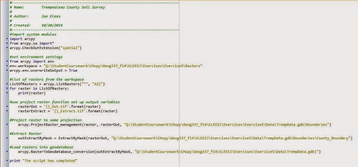
Exercise 5 - October 20, 2014 - This script was written to project, clip,
and load pre-downloaded data into a geodatabase. I input raster data from
various website and the output was a clipped map of Trempealeau County in the
proper projection and deposited into a pre-designated geodatabase.
Exercise 7 - November 12, 2014 - This script was written to select the active mines, that are not a rail loading station, and not within 1.5 kilometers of the railroads. We used mine and railroad data from DNR, not from our geocoding exercise. Once the script is complete we have a shapefile of the mines that meet the above criteria.

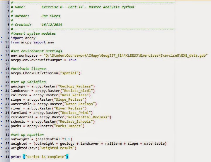
Exercise 8 - December 16, 2014 - This script was written to analyze the raster data that I created in exercise 8 and generate a weighted index model using Python. I first set up the variables, build n equation to weight one of the factors and add all the factors together.

No comments:
Post a Comment